Lairg Community Centre
Introduction
The photograph on this page of Lairg Community Centre by Richard Sutcliffe as part of the Geograph project.
The Geograph project started in 2005 with the aim of publishing, organising and preserving representative images for every square kilometre of Great Britain, Ireland and the Isle of Man.

There are currently over 7.5m images from over 14,400 individuals and you can help contribute to the project by visiting https://www.geograph.org.uk
Lairg Community Centre
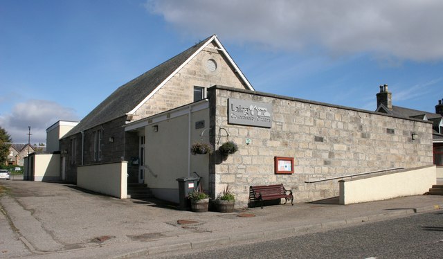
Image: © Richard Sutcliffe Taken: 28 Sep 2018
The community centre was converted from a drill hall in the 1970s [https://canmore.org.uk/site/331781/lairg-main-street-drill-hall]. It is a popular venue for private functions, and is a regular meeting place for local groups, clubs, committees and councils.
Images are licensed for reuse under creativecommons.org/licenses/by-sa/2.0
Image Location
Latitude
58.023432
Longitude
-4.396849