Furzebrook Road Wareham Dorset
Introduction
The photograph on this page of Furzebrook Road Wareham Dorset by Peter Elsdon as part of the Geograph project.
The Geograph project started in 2005 with the aim of publishing, organising and preserving representative images for every square kilometre of Great Britain, Ireland and the Isle of Man.

There are currently over 7.5m images from over 14,400 individuals and you can help contribute to the project by visiting https://www.geograph.org.uk
Furzebrook Road Wareham Dorset
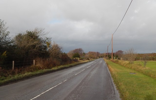
Image: © Peter Elsdon Taken: 14 Dec 2017
Furzebrook Road runs from the A351 Stoborough across Furzebrook Heath towards the Purbeck Hills. A very busy road used by holiday makers staying at local camp sites and visitors to Blue Poole. There is also a constant flow of heavy goods vehicle coming and going from the local quarry works
Images are licensed for reuse under creativecommons.org/licenses/by-sa/2.0
Image Location
Latitude
50.661749
Longitude
-2.100824