Weyhurst Copse from the air
Introduction
The photograph on this page of Weyhurst Copse from the air by Derek Harper as part of the Geograph project.
The Geograph project started in 2005 with the aim of publishing, organising and preserving representative images for every square kilometre of Great Britain, Ireland and the Isle of Man.

There are currently over 7.5m images from over 14,400 individuals and you can help contribute to the project by visiting https://www.geograph.org.uk
Weyhurst Copse from the air
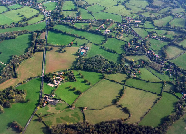
Image: © Derek Harper Taken: 18 Oct 2018
Sharing features with the left part of Image Tisman's Common is the scattered village beyond the wood in the centre. The straight A281 is on the left.
Images are licensed for reuse under creativecommons.org/licenses/by-sa/2.0
Image Location
Latitude
51.087264
Longitude
-0.475068