High Street, Billingshurst (5)
Introduction
The photograph on this page of High Street, Billingshurst (5) by Stephen Richards as part of the Geograph project.
The Geograph project started in 2005 with the aim of publishing, organising and preserving representative images for every square kilometre of Great Britain, Ireland and the Isle of Man.

There are currently over 7.5m images from over 14,400 individuals and you can help contribute to the project by visiting https://www.geograph.org.uk
High Street, Billingshurst (5)
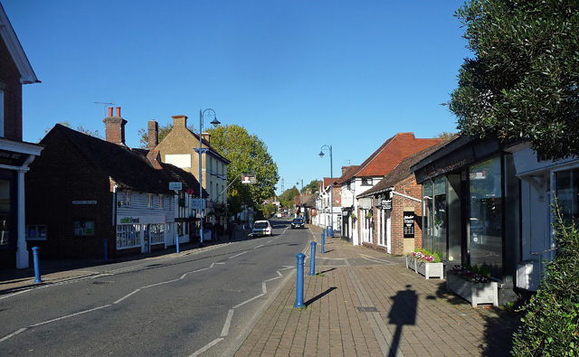
Image: © Stephen Richards Taken: 21 Oct 2018
Looking north along what used to be the A29 before the village was bypassed about twenty years ago. This must be a mixed blessing as passing trade has no doubt largely evaporated.
Images are licensed for reuse under creativecommons.org/licenses/by-sa/2.0
Image Location
Latitude
51.023637
Longitude
-0.450919