Troedrhiwgwair village
Introduction
The photograph on this page of Troedrhiwgwair village by M J Roscoe as part of the Geograph project.
The Geograph project started in 2005 with the aim of publishing, organising and preserving representative images for every square kilometre of Great Britain, Ireland and the Isle of Man.

There are currently over 7.5m images from over 14,400 individuals and you can help contribute to the project by visiting https://www.geograph.org.uk
Troedrhiwgwair village
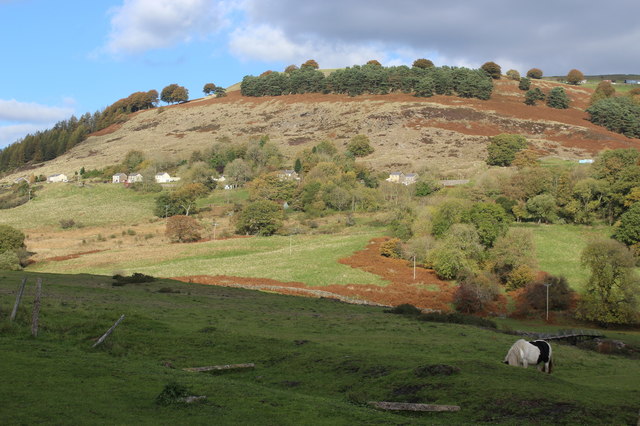
Image: © M J Roscoe Taken: 19 Oct 2018
The remains of the evacuated village viewed from across the river on a clear autumn day. The two houses to the right can be seen in Image There is a belt of conifers on the skyline above the disused quarry.
Images are licensed for reuse under creativecommons.org/licenses/by-sa/2.0
Image Location
Latitude
51.753271
Longitude
-3.221049