Former garden centre, Jointon Road
Introduction
The photograph on this page of Former garden centre, Jointon Road by John Baker as part of the Geograph project.
The Geograph project started in 2005 with the aim of publishing, organising and preserving representative images for every square kilometre of Great Britain, Ireland and the Isle of Man.

There are currently over 7.5m images from over 14,400 individuals and you can help contribute to the project by visiting https://www.geograph.org.uk
Former garden centre, Jointon Road
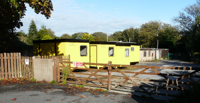
Image: © John Baker Taken: 23 Sep 2018
Planning permission has been approved, with conditions, by Folkestone and Hythe District Council under application number Y17/0710/SH for “full planning application for the erection of 40 dwellings with associated access, parking, landscaping and open space”. It is possible that these are the contractor’s offices to be used when development of the site starts. This view of Image shows the garden centre when it was trading. This is where Image has moved to since.
Images are licensed for reuse under creativecommons.org/licenses/by-sa/2.0
Image Location
Latitude
51.080354
Longitude
1.167967