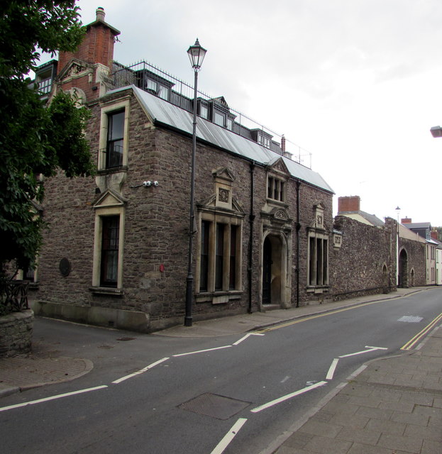
The Mynde House, Caerleon
Introduction
The photograph on this page of The Mynde House, Caerleon by Jaggery as part of the Geograph project.
The Geograph project started in 2005 with the aim of publishing, organising and preserving representative images for every square kilometre of Great Britain, Ireland and the Isle of Man.
There are currently over 7.5m images from over 14,400 individuals and you can help contribute to the project by visiting https://www.geograph.org.uk

Image: © Jaggery Taken: 24 Aug 2018
The High Street side of a 20-room house in Castle Lane. The house has about three and a half acres of gardens and grounds. A 19th century addition to the house is the Mynde Wall, a stone wall built by tinplate magnate and local sheriff John Jenkins in 1839 as protection against the Chartists who were becoming increasingly belligerent in their campaign to extend the entitlement to vote beyond men who owned property.

