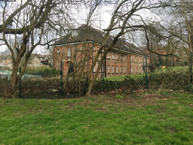
Institutional building by Westow Park, Upper Norwood, south London
Introduction
The photograph on this page of Institutional building by Westow Park, Upper Norwood, south London by Robin Stott as part of the Geograph project.
The Geograph project started in 2005 with the aim of publishing, organising and preserving representative images for every square kilometre of Great Britain, Ireland and the Isle of Man.
There are currently over 7.5m images from over 14,400 individuals and you can help contribute to the project by visiting https://www.geograph.org.uk

Image: © Robin Stott Taken: 23 Mar 2018
It is first shown on an OS map of 1934-5, unlabelled. A map of 1967-82 shows it as 'Hostel' with blocks immediately to the north labelled 'Adult and Youth Centre'. They have been replaced by The Triangle, a children-focused community centre operated by the Barnardo's charity https://www.facebook.com/barnardosthetriangle/ The hostel still sits alongside it on the same site off Coxwell Road; it may be residential accommodation for children who have been removed from their families.

