Fanthorpe Lane
Introduction
The photograph on this page of Fanthorpe Lane by Mr T as part of the Geograph project.
The Geograph project started in 2005 with the aim of publishing, organising and preserving representative images for every square kilometre of Great Britain, Ireland and the Isle of Man.

There are currently over 7.5m images from over 14,400 individuals and you can help contribute to the project by visiting https://www.geograph.org.uk
Fanthorpe Lane
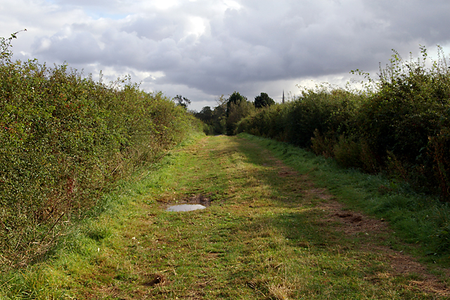
Image: © Mr T Taken: 29 Sep 2007
The spire of St. James' in Louth can just be seen above the hedge on the right.
Images are licensed for reuse under creativecommons.org/licenses/by-sa/2.0
Image Location


Leaflet Map data © OpenStreetMap
Latitude
53.378333
Longitude
-0.018614