Pymme's Book Trail near the North Circular
Introduction
The photograph on this page of Pymme's Book Trail near the North Circular by Des Blenkinsopp as part of the Geograph project.
The Geograph project started in 2005 with the aim of publishing, organising and preserving representative images for every square kilometre of Great Britain, Ireland and the Isle of Man.

There are currently over 7.5m images from over 14,400 individuals and you can help contribute to the project by visiting https://www.geograph.org.uk
Pymme's Book Trail near the North Circular
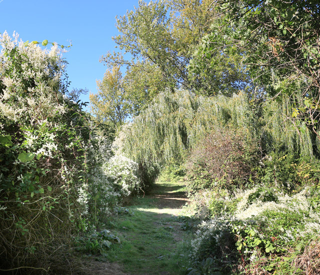
Image: © Des Blenkinsopp Taken: 9 Oct 2018
Two very different routeways separated by a few allotments. The Pymme's Brook Trail follows the course of the brook from its source near Cockfosters down to the River Lea. This short bit is possibly its most rustic section.
Images are licensed for reuse under creativecommons.org/licenses/by-sa/2.0
Image Location
Latitude
51.615408
Longitude
-0.078274