Field, Wickeridge
Introduction
The photograph on this page of Field, Wickeridge by Derek Harper as part of the Geograph project.
The Geograph project started in 2005 with the aim of publishing, organising and preserving representative images for every square kilometre of Great Britain, Ireland and the Isle of Man.

There are currently over 7.5m images from over 14,400 individuals and you can help contribute to the project by visiting https://www.geograph.org.uk
Field, Wickeridge
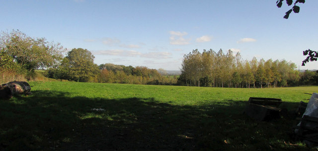
Image: © Derek Harper Taken: 22 Oct 2018
Taken more or less from beneath the tree shown in Image A new plantation is in the very northeast corner of the square.
Images are licensed for reuse under creativecommons.org/licenses/by-sa/2.0
Image Location
Latitude
50.515425
Longitude
-3.709444