The end of Scott Street
Introduction
The photograph on this page of The end of Scott Street by Trevor Littlewood as part of the Geograph project.
The Geograph project started in 2005 with the aim of publishing, organising and preserving representative images for every square kilometre of Great Britain, Ireland and the Isle of Man.

There are currently over 7.5m images from over 14,400 individuals and you can help contribute to the project by visiting https://www.geograph.org.uk
The end of Scott Street
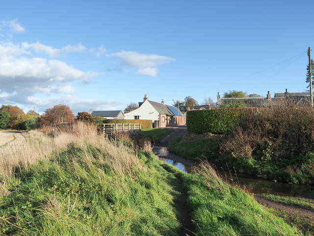
Image: © Trevor Littlewood Taken: 19 Oct 2018
The north-western end of Scott Street in the village of Burrelton where there's a bungalow and a footbridge over the Wellsies Burn which gives a way on to the Millennium Footpath, a 'core path' of the settlement.
Images are licensed for reuse under creativecommons.org/licenses/by-sa/2.0
Image Location
Latitude
56.520533
Longitude
-3.303153