Track to Nant-y-nod
Introduction
The photograph on this page of Track to Nant-y-nod by Marcus Byron as part of the Geograph project.
The Geograph project started in 2005 with the aim of publishing, organising and preserving representative images for every square kilometre of Great Britain, Ireland and the Isle of Man.

There are currently over 7.5m images from over 14,400 individuals and you can help contribute to the project by visiting https://www.geograph.org.uk
Track to Nant-y-nod
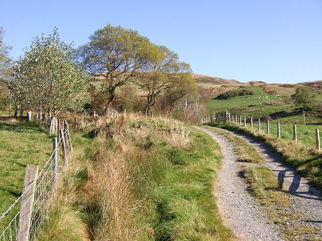
Image: © Marcus Byron Taken: 23 Oct 2007
Nant-y-nod is hidden in the trees on the left. The hills in the background are Ffridd Newydd.
Images are licensed for reuse under creativecommons.org/licenses/by-sa/2.0
Image Location
Latitude
52.495837
Longitude
-3.913248