Antonine Wall and ditch, Tamfourhill Road, Falkirk
Introduction
The photograph on this page of Antonine Wall and ditch, Tamfourhill Road, Falkirk by Tim Heaton as part of the Geograph project.
The Geograph project started in 2005 with the aim of publishing, organising and preserving representative images for every square kilometre of Great Britain, Ireland and the Isle of Man.

There are currently over 7.5m images from over 14,400 individuals and you can help contribute to the project by visiting https://www.geograph.org.uk
Antonine Wall and ditch, Tamfourhill Road, Falkirk
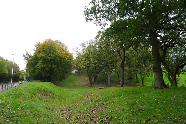
Image: © Tim Heaton Taken: 8 Oct 2018
From Wikipedia: The Antonine Wall, known to the Romans as Vallum Antonini, was a turf fortification on stone foundations, built by the Romans across what is now the Central Belt of Scotland, between the Firth of Forth and the Firth of Clyde. Representing the northernmost frontier barrier of the Roman Empire, it spanned approximately 39 miles. Construction began in AD 142 at the order of Roman Emperor Antoninus Pius, and took about 12 years to complete.
Images are licensed for reuse under creativecommons.org/licenses/by-sa/2.0
Image Location
Latitude
55.998041
Longitude
-3.827169