Upper Sirhowy Valley near Peacehaven
Introduction
The photograph on this page of Upper Sirhowy Valley near Peacehaven by M J Roscoe as part of the Geograph project.
The Geograph project started in 2005 with the aim of publishing, organising and preserving representative images for every square kilometre of Great Britain, Ireland and the Isle of Man.

There are currently over 7.5m images from over 14,400 individuals and you can help contribute to the project by visiting https://www.geograph.org.uk
Upper Sirhowy Valley near Peacehaven
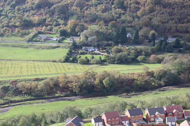
Image: © M J Roscoe Taken: 19 Oct 2018
The houses in the foreground are at the southern end of Peacehaven. The River Sirhowy runs just in front in front of the line of trees. Just beyond NCR 467 runs parallel with the river. The houses at the foot of the far hill front onto the A4048.
Images are licensed for reuse under creativecommons.org/licenses/by-sa/2.0
Image Location
Latitude
51.753728
Longitude
-3.228885