Road junction at Gilesgate Moor
Introduction
The photograph on this page of Road junction at Gilesgate Moor by Robert Graham as part of the Geograph project.
The Geograph project started in 2005 with the aim of publishing, organising and preserving representative images for every square kilometre of Great Britain, Ireland and the Isle of Man.

There are currently over 7.5m images from over 14,400 individuals and you can help contribute to the project by visiting https://www.geograph.org.uk
Road junction at Gilesgate Moor
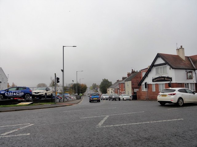
Image: © Robert Graham Taken: 16 Oct 2018
This looking south along Dragon Lane at the junction with Sunderland Road. Travellers Rest pub on the corner.
Images are licensed for reuse under creativecommons.org/licenses/by-sa/2.0
Image Location
Latitude
54.781575
Longitude
-1.540216