The top of Higher Green Lane
Introduction
The photograph on this page of The top of Higher Green Lane by Bill Boaden as part of the Geograph project.
The Geograph project started in 2005 with the aim of publishing, organising and preserving representative images for every square kilometre of Great Britain, Ireland and the Isle of Man.

There are currently over 7.5m images from over 14,400 individuals and you can help contribute to the project by visiting https://www.geograph.org.uk
The top of Higher Green Lane
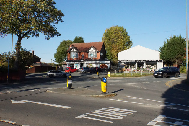
Image: © Bill Boaden Taken: 18 Oct 2018
Where it meets Manchester Road, the A572. Coach Road starts opposite. This junction can get very busy in rush hours.
Images are licensed for reuse under creativecommons.org/licenses/by-sa/2.0
Image Location
Latitude
53.502241
Longitude
-2.448471