The Heagles Road near Ballybogey
Introduction
The photograph on this page of The Heagles Road near Ballybogey by Albert Bridge as part of the Geograph project.
The Geograph project started in 2005 with the aim of publishing, organising and preserving representative images for every square kilometre of Great Britain, Ireland and the Isle of Man.

There are currently over 7.5m images from over 14,400 individuals and you can help contribute to the project by visiting https://www.geograph.org.uk
The Heagles Road near Ballybogey
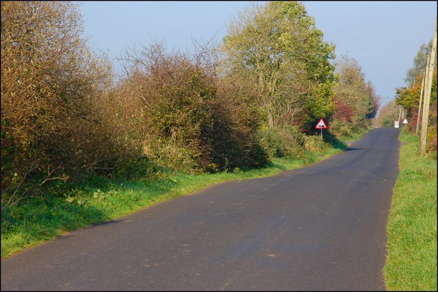
Image: © Albert Bridge Taken: 25 Oct 2007
The Heagles Road runs from Ballybogey village, through boggy land, towards the Seacon Road and Ballymoney. The view is towards Ballybogey.
Images are licensed for reuse under creativecommons.org/licenses/by-sa/2.0
Image Location
Latitude
55.126292
Longitude
-6.555765