Alum House Lane
Introduction
The photograph on this page of Alum House Lane by Stephen McCulloch as part of the Geograph project.
The Geograph project started in 2005 with the aim of publishing, organising and preserving representative images for every square kilometre of Great Britain, Ireland and the Isle of Man.

There are currently over 7.5m images from over 14,400 individuals and you can help contribute to the project by visiting https://www.geograph.org.uk
Alum House Lane
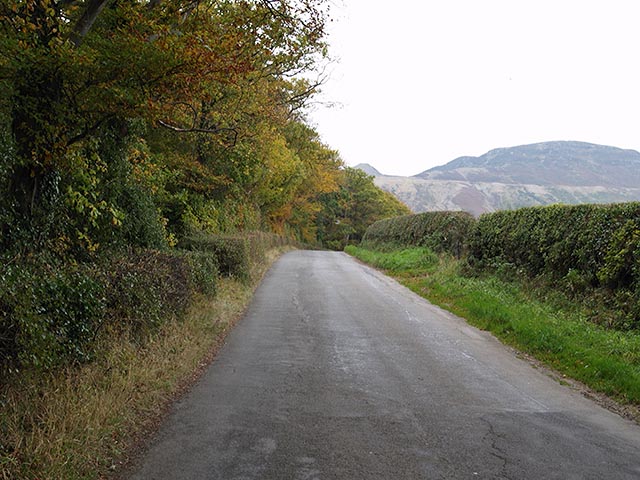
Image: © Stephen McCulloch Taken: 25 Oct 2007
For much of its length, the view up Alum House Lane is very similar, with woods on the east side, fields on the west and views of the Cleveland Hills escarpment to the south.
Images are licensed for reuse under creativecommons.org/licenses/by-sa/2.0
Image Location
Latitude
54.426684
Longitude
-1.209876