Gloucester Docks, Barge Arm
Introduction
The photograph on this page of Gloucester Docks, Barge Arm by Mike Faherty as part of the Geograph project.
The Geograph project started in 2005 with the aim of publishing, organising and preserving representative images for every square kilometre of Great Britain, Ireland and the Isle of Man.

There are currently over 7.5m images from over 14,400 individuals and you can help contribute to the project by visiting https://www.geograph.org.uk
Gloucester Docks, Barge Arm
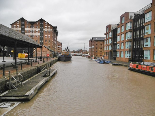
Image: © Mike Faherty Taken: 13 Oct 2018
Originally built to segregate barges from larger craft, at the terminus of Gloucester & Sharpness Canal. Left, in the distance, National Waterways Museum.
Images are licensed for reuse under creativecommons.org/licenses/by-sa/2.0
Image Location
Latitude
51.861663
Longitude
-2.251609