Llwybr Tydist / Tydist Path
Introduction
The photograph on this page of Llwybr Tydist / Tydist Path by Alan Richards as part of the Geograph project.
The Geograph project started in 2005 with the aim of publishing, organising and preserving representative images for every square kilometre of Great Britain, Ireland and the Isle of Man.

There are currently over 7.5m images from over 14,400 individuals and you can help contribute to the project by visiting https://www.geograph.org.uk
Llwybr Tydist / Tydist Path
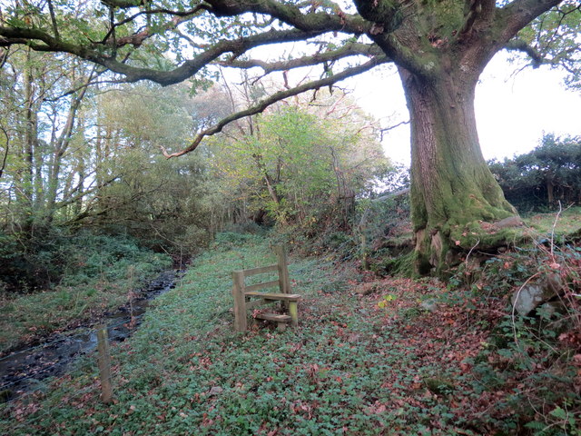
Image: © Alan Richards Taken: 19 Oct 2018
Llwybr cyhoeddus ar lan nant fach yn mynd heibio i dderwen. A public footpath alongside a small stream passing an oak tree.
Images are licensed for reuse under creativecommons.org/licenses/by-sa/2.0
Image Location
Latitude
51.897234
Longitude
-3.931601