Windlesham: Private woodland
Introduction
The photograph on this page of Windlesham: Private woodland by Nigel Cox as part of the Geograph project.
The Geograph project started in 2005 with the aim of publishing, organising and preserving representative images for every square kilometre of Great Britain, Ireland and the Isle of Man.

There are currently over 7.5m images from over 14,400 individuals and you can help contribute to the project by visiting https://www.geograph.org.uk
Windlesham: Private woodland
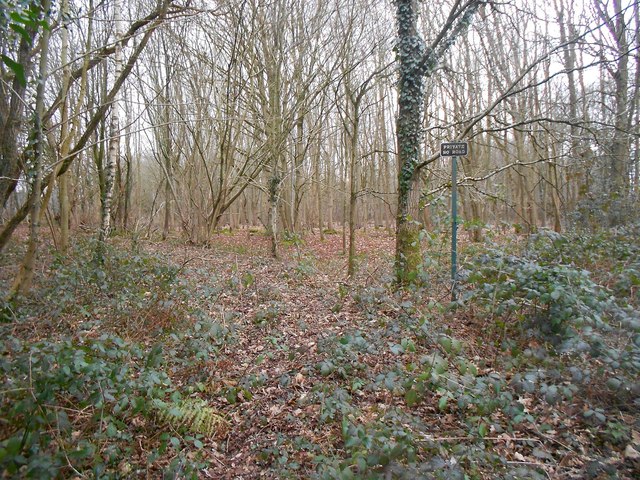
Image: © Nigel Cox Taken: 6 Mar 2016
This sign greets walkers emerging from Image] This area is described as a "Nursery" on the early 20th Century large scale Ordnance Survey maps, so this is probably a remnant of a once extensive area of commercial deciduous tree growing.
Images are licensed for reuse under creativecommons.org/licenses/by-sa/2.0
Image Location
Latitude
51.358311
Longitude
-0.675636