Salmon's Brook
Introduction
The photograph on this page of Salmon's Brook by Des Blenkinsopp as part of the Geograph project.
The Geograph project started in 2005 with the aim of publishing, organising and preserving representative images for every square kilometre of Great Britain, Ireland and the Isle of Man.

There are currently over 7.5m images from over 14,400 individuals and you can help contribute to the project by visiting https://www.geograph.org.uk
Salmon's Brook
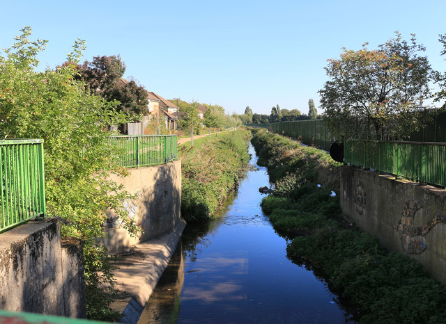
Image: © Des Blenkinsopp Taken: 9 Oct 2018
Salmons Brook rises on Enfield Chase and follows a largely artificial course through the suburbs to join the Lea at Edmonton. Nothing to do with fish, the name is thought to come from John Salemon, a 13th century landowner https://en.wikipedia.org/wiki/Salmons_Brook
Images are licensed for reuse under creativecommons.org/licenses/by-sa/2.0
Image Location
Latitude
51.622347
Longitude
-0.057322