City wall and Princesshay development
Introduction
The photograph on this page of City wall and Princesshay development by Derek Harper as part of the Geograph project.
The Geograph project started in 2005 with the aim of publishing, organising and preserving representative images for every square kilometre of Great Britain, Ireland and the Isle of Man.

There are currently over 7.5m images from over 14,400 individuals and you can help contribute to the project by visiting https://www.geograph.org.uk
City wall and Princesshay development
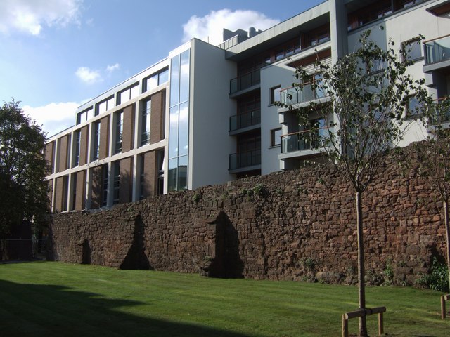
Image: © Derek Harper Taken: 23 Oct 2007
This view of the city wall has recently been re-revealed following the opening of the new shopping centre beyond. This section of the wall seems to be medieval or later.
Images are licensed for reuse under creativecommons.org/licenses/by-sa/2.0
Image Location
Latitude
50.723908
Longitude
-3.527313