Flood Storage by Salmons Brook
Introduction
The photograph on this page of Flood Storage by Salmons Brook by Des Blenkinsopp as part of the Geograph project.
The Geograph project started in 2005 with the aim of publishing, organising and preserving representative images for every square kilometre of Great Britain, Ireland and the Isle of Man.

There are currently over 7.5m images from over 14,400 individuals and you can help contribute to the project by visiting https://www.geograph.org.uk
Flood Storage by Salmons Brook
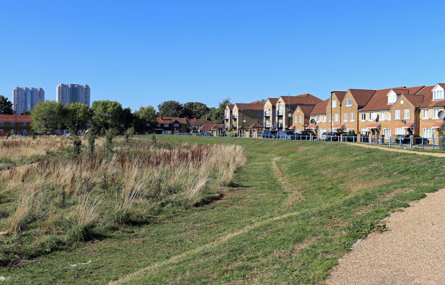
Image: © Des Blenkinsopp Taken: 9 Oct 2018
Salmons Brook, a small tributary of the Lea, flows through this undeveloped area which has been embanked to hold flood water during heavy rainfall events. Flooding has occurred around here in the past.
Images are licensed for reuse under creativecommons.org/licenses/by-sa/2.0
Image Location
Latitude
51.621892
Longitude
-0.046217