Kame and kettle terrain by Lagg
Introduction
The photograph on this page of Kame and kettle terrain by Lagg by Richard Webb as part of the Geograph project.
The Geograph project started in 2005 with the aim of publishing, organising and preserving representative images for every square kilometre of Great Britain, Ireland and the Isle of Man.

There are currently over 7.5m images from over 14,400 individuals and you can help contribute to the project by visiting https://www.geograph.org.uk
Kame and kettle terrain by Lagg
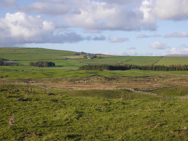
Image: © Richard Webb Taken: 6 Oct 2018
Some of the mapped lochans are becoming vegetated and moving on to the marshland phase of succession. There were a lot of very vocal mallards here.
Images are licensed for reuse under creativecommons.org/licenses/by-sa/2.0
Image Location
Latitude
55.153635
Longitude
-3.771879