Chagford houses [10]
Introduction
The photograph on this page of Chagford houses [10] by Michael Dibb as part of the Geograph project.
The Geograph project started in 2005 with the aim of publishing, organising and preserving representative images for every square kilometre of Great Britain, Ireland and the Isle of Man.

There are currently over 7.5m images from over 14,400 individuals and you can help contribute to the project by visiting https://www.geograph.org.uk
Chagford houses [10]
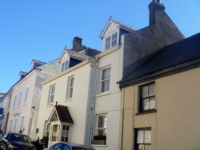
Image: © Michael Dibb Taken: 26 Sep 2018
This early 19th century house, Belmont, has recently been extended on the right where there was formerly a passage. The house contains many original features. Listed, grade II, with details at: https://historicengland.org.uk/listing/the-list/list-entry/1106147
Images are licensed for reuse under creativecommons.org/licenses/by-sa/2.0
Image Location
Latitude
50.673139
Longitude
-3.841554