Hughenden Valley: Valley Road
Introduction
The photograph on this page of Hughenden Valley: Valley Road by Nigel Cox as part of the Geograph project.
The Geograph project started in 2005 with the aim of publishing, organising and preserving representative images for every square kilometre of Great Britain, Ireland and the Isle of Man.

There are currently over 7.5m images from over 14,400 individuals and you can help contribute to the project by visiting https://www.geograph.org.uk
Hughenden Valley: Valley Road
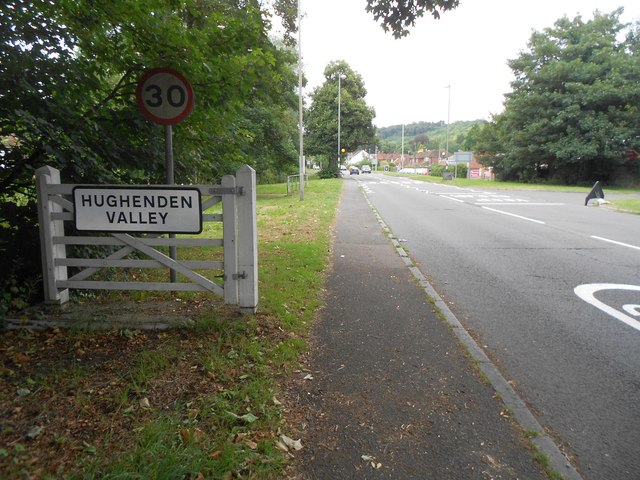
Image: © Nigel Cox Taken: 11 Aug 2016
The village of Hughenden Valley is very much a 20th Century development. A review of the large scale Ordnance Survey map of about 1875 shows nothing but farmland and a few isolated farms, such as Bottom and Bosslane Farms.
Images are licensed for reuse under creativecommons.org/licenses/by-sa/2.0
Image Location
Latitude
51.660195
Longitude
-0.751577