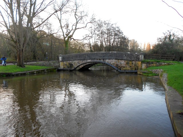
River Itchen: Mans Bridge
Introduction
The photograph on this page of River Itchen: Mans Bridge by Nigel Cox as part of the Geograph project.
The Geograph project started in 2005 with the aim of publishing, organising and preserving representative images for every square kilometre of Great Britain, Ireland and the Isle of Man.
There are currently over 7.5m images from over 14,400 individuals and you can help contribute to the project by visiting https://www.geograph.org.uk

Image: © Nigel Cox Taken: 23 Dec 2015
Mans Bridge is a Grade II Listed Structure and the Historic England website describes it thus:- "Late C18. A single segmental arch of tooled stone 'lamb's wool pattern' with a stringcourse at road level, projecting keystone, and solid balustrade with rounded coping swept out at each end to circular piers crowned with conical, slightly projecting capping." The bridge once carried the main A27 road over the river, but is now restricted to pedestrian and cycle use.

