West along the M4 motorway, Morriston, Swansea
Introduction
The photograph on this page of West along the M4 motorway, Morriston, Swansea by Jaggery as part of the Geograph project.
The Geograph project started in 2005 with the aim of publishing, organising and preserving representative images for every square kilometre of Great Britain, Ireland and the Isle of Man.

There are currently over 7.5m images from over 14,400 individuals and you can help contribute to the project by visiting https://www.geograph.org.uk
West along the M4 motorway, Morriston, Swansea
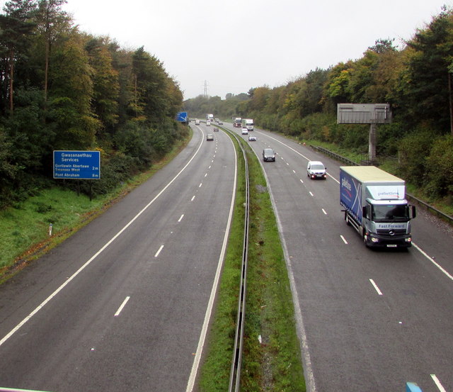
Image: © Jaggery Taken: 16 Oct 2018
Viewed from this footbridge. https://www.geograph.org.uk/photo/5943436 The blue sign shows 2 miles to Swansea West Services, 8 miles to Pont Abraham Services.
Images are licensed for reuse under creativecommons.org/licenses/by-sa/2.0
Image Location
Latitude
51.679894
Longitude
-3.936944