East Garston: Back Street
Introduction
The photograph on this page of East Garston: Back Street by Stefan Czapski as part of the Geograph project.
The Geograph project started in 2005 with the aim of publishing, organising and preserving representative images for every square kilometre of Great Britain, Ireland and the Isle of Man.

There are currently over 7.5m images from over 14,400 individuals and you can help contribute to the project by visiting https://www.geograph.org.uk
East Garston: Back Street
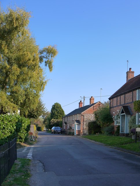
Image: © Stefan Czapski Taken: 10 Oct 2018
Or is this stretch known as Rogers's Lane? In any case, behind the camera the lane leads uphill to join the main Great Shefford-Lambourn road. Photo taken on a warm day in early October.
Images are licensed for reuse under creativecommons.org/licenses/by-sa/2.0
Image Location
Latitude
51.488988
Longitude
-1.478285