Osborne Street
Introduction
The photograph on this page of Osborne Street by John Baker as part of the Geograph project.
The Geograph project started in 2005 with the aim of publishing, organising and preserving representative images for every square kilometre of Great Britain, Ireland and the Isle of Man.

There are currently over 7.5m images from over 14,400 individuals and you can help contribute to the project by visiting https://www.geograph.org.uk
Osborne Street
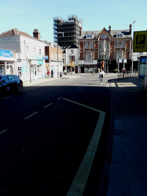
Image: © John Baker Taken: 26 Sep 2018
At the far end of the street is St Boltolph’s Church for which there is an appeal to raise £170,670 for repairing the tower http://www.stbotolphs.org/ which is covered in scaffolding.
Images are licensed for reuse under creativecommons.org/licenses/by-sa/2.0
Image Location
Latitude
51.886804
Longitude
0.903332