Former Co-operative Bank, Bridgend
Introduction
The photograph on this page of Former Co-operative Bank, Bridgend by Jaggery as part of the Geograph project.
The Geograph project started in 2005 with the aim of publishing, organising and preserving representative images for every square kilometre of Great Britain, Ireland and the Isle of Man.

There are currently over 7.5m images from over 14,400 individuals and you can help contribute to the project by visiting https://www.geograph.org.uk
Former Co-operative Bank, Bridgend
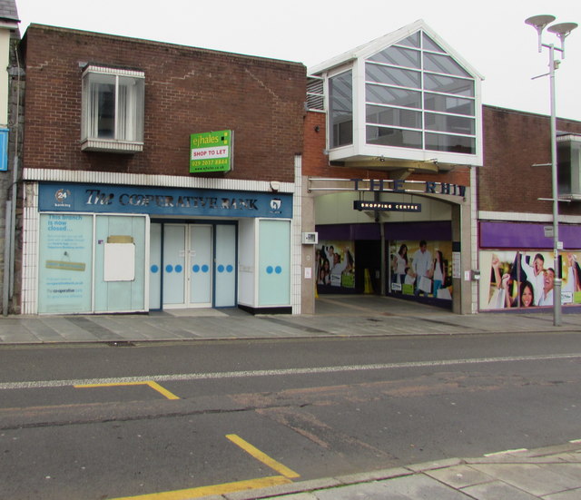
Image: © Jaggery Taken: 16 Oct 2018
Viewed across Nolton Street in October 2018. The bank seen here https://www.geograph.org.uk/photo/3907823 in March 2014 has gone.
Images are licensed for reuse under creativecommons.org/licenses/by-sa/2.0
Image Location
Latitude
51.505347
Longitude
-3.577078