Raemoir
Introduction
The photograph on this page of Raemoir by Stanley Howe as part of the Geograph project.
The Geograph project started in 2005 with the aim of publishing, organising and preserving representative images for every square kilometre of Great Britain, Ireland and the Isle of Man.

There are currently over 7.5m images from over 14,400 individuals and you can help contribute to the project by visiting https://www.geograph.org.uk
Raemoir
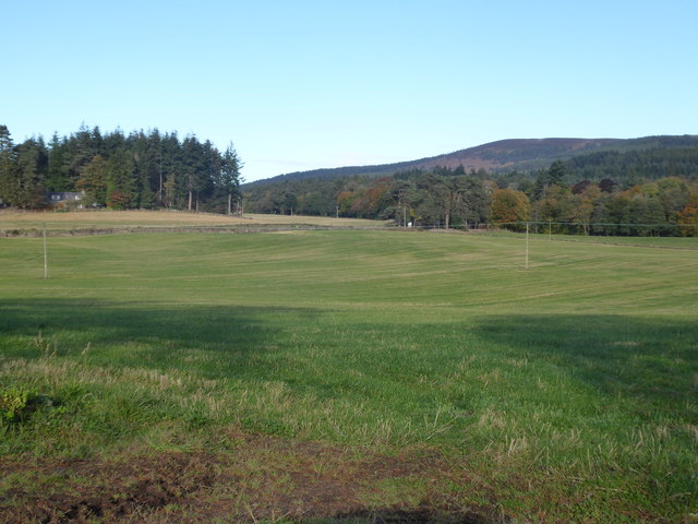
Image: © Stanley Howe Taken: 6 Oct 2018
Mill Wood on left; Hill of Fare on right. Seen across grass field from minor road near Hawthorn Wood.
Images are licensed for reuse under creativecommons.org/licenses/by-sa/2.0
Image Location
Latitude
57.079187
Longitude
-2.506909