
Gloucester and Sharpness Canal Two Mile Bend
Introduction
The photograph on this page of Gloucester and Sharpness Canal Two Mile Bend by David Stowell as part of the Geograph project.
The Geograph project started in 2005 with the aim of publishing, organising and preserving representative images for every square kilometre of Great Britain, Ireland and the Isle of Man.

There are currently over 7.5m images from over 14,400 individuals and you can help contribute to the project by visiting https://www.geograph.org.uk
Gloucester and Sharpness Canal Two Mile Bend
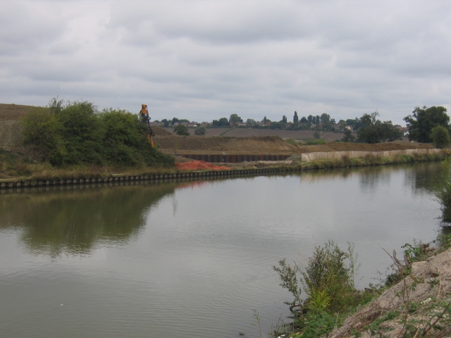
Image: © David Stowell Taken: 18 Sep 2005
The canal runs parallel to the Bristol Road out of Gloucester in this square before executing a sharp "S" bend to the left of the photographer. The excavations visible on the other side of the canal are to straighten out this sharp bend, http://www.gloucesterdocks.me.uk/canal/twomilecut/2mcutplans.htm unfortunately not led by the needs of the sea going ships which have used this canal, but instead to gain the necessary clearances to build a new western road bypass for Gloucester!
Images are licensed for reuse under creativecommons.org/licenses/by-sa/2.0
Image Location

Latitude
51.837793
Longitude
-2.271359