Longmantop and Longman Cairn
Introduction
The photograph on this page of Longmantop and Longman Cairn by Anne Burgess as part of the Geograph project.
The Geograph project started in 2005 with the aim of publishing, organising and preserving representative images for every square kilometre of Great Britain, Ireland and the Isle of Man.

There are currently over 7.5m images from over 14,400 individuals and you can help contribute to the project by visiting https://www.geograph.org.uk
Longmantop and Longman Cairn
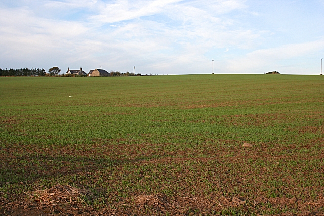
Image: © Anne Burgess Taken: 24 Oct 2007
Longmatop is the farm at upper left, and I think the hummock on the skyline at the right must be the cairn, which is marked as an antiquity.
Images are licensed for reuse under creativecommons.org/licenses/by-sa/2.0
Image Location


Leaflet Map data © OpenStreetMap
Latitude
57.646967
Longitude
-2.441926