Road down to Stockerley Burn
Introduction
The photograph on this page of Road down to Stockerley Burn by Robert Graham as part of the Geograph project.
The Geograph project started in 2005 with the aim of publishing, organising and preserving representative images for every square kilometre of Great Britain, Ireland and the Isle of Man.

There are currently over 7.5m images from over 14,400 individuals and you can help contribute to the project by visiting https://www.geograph.org.uk
Road down to Stockerley Burn
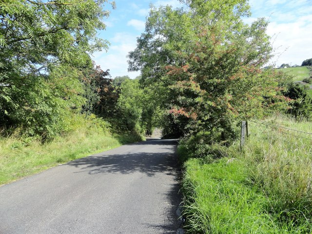
Image: © Robert Graham Taken: 5 Sep 2018
This country lane runs along from Delves Lane near Consett, down the steep bank to cross the burn and then up the other side to join the A691 at Iveston.
Images are licensed for reuse under creativecommons.org/licenses/by-sa/2.0
Image Location
Latitude
54.845451
Longitude
-1.797371