Building at Southview Farm Riding Stables
Introduction
The photograph on this page of Building at Southview Farm Riding Stables by Brian Westlake as part of the Geograph project.
The Geograph project started in 2005 with the aim of publishing, organising and preserving representative images for every square kilometre of Great Britain, Ireland and the Isle of Man.

There are currently over 7.5m images from over 14,400 individuals and you can help contribute to the project by visiting https://www.geograph.org.uk
Building at Southview Farm Riding Stables
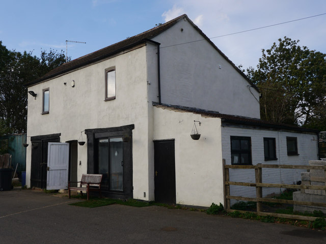
Image: © Brian Westlake Taken: 11 Oct 2018
There is a flush bracket benchmark on this building at Southview Farm, now riding stables. See http://www.geograph.org.uk/photo/5940061 for a closer view and https://www.bench-marks.org.uk/bm13677 for details.
Images are licensed for reuse under creativecommons.org/licenses/by-sa/2.0
Image Location
Latitude
52.966117
Longitude
-0.440758