The Street, Bossingham
Introduction
The photograph on this page of The Street, Bossingham by Robin Webster as part of the Geograph project.
The Geograph project started in 2005 with the aim of publishing, organising and preserving representative images for every square kilometre of Great Britain, Ireland and the Isle of Man.

There are currently over 7.5m images from over 14,400 individuals and you can help contribute to the project by visiting https://www.geograph.org.uk
The Street, Bossingham
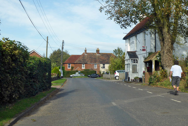
Image: © Robin Webster Taken: 13 Oct 2018
The Hop Pocket pub on the right. It may have closed down - there is no inn sign.
Images are licensed for reuse under creativecommons.org/licenses/by-sa/2.0
Image Location
Latitude
51.200629
Longitude
1.07657