Churchyard and Parish Centre, Warsop
Introduction
The photograph on this page of Churchyard and Parish Centre, Warsop by Jonathan Thacker as part of the Geograph project.
The Geograph project started in 2005 with the aim of publishing, organising and preserving representative images for every square kilometre of Great Britain, Ireland and the Isle of Man.

There are currently over 7.5m images from over 14,400 individuals and you can help contribute to the project by visiting https://www.geograph.org.uk
Churchyard and Parish Centre, Warsop
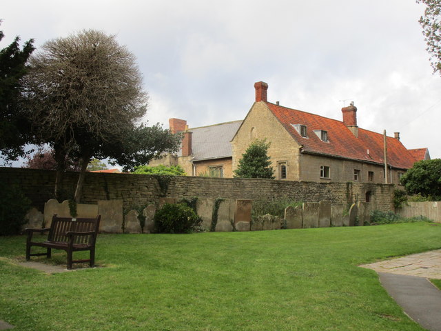
Image: © Jonathan Thacker Taken: 21 Sep 2018
The Parish Centre occupies a complex of buildings dating from the fourteenth century onwards https://historicengland.org.uk/listing/the-list/list-entry/1251896
Images are licensed for reuse under creativecommons.org/licenses/by-sa/2.0
Image Location
Latitude
53.213331
Longitude
-1.151957