Cutting for A595 at bend at the approach to Parton
Introduction
The photograph on this page of Cutting for A595 at bend at the approach to Parton by Roger Templeman as part of the Geograph project.
The Geograph project started in 2005 with the aim of publishing, organising and preserving representative images for every square kilometre of Great Britain, Ireland and the Isle of Man.

There are currently over 7.5m images from over 14,400 individuals and you can help contribute to the project by visiting https://www.geograph.org.uk
Cutting for A595 at bend at the approach to Parton
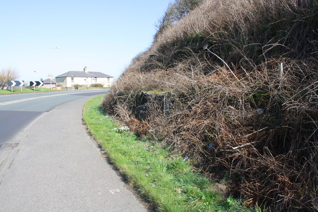
Image: © Roger Templeman Taken: 9 Apr 2018
Ordnance Survey records indicate a benchmark cut into the rock face here: see www.bench-marks.org.uk/bm112525 for details
Images are licensed for reuse under creativecommons.org/licenses/by-sa/2.0
Image Location
Latitude
54.564069
Longitude
-3.58133