Construction work near the Mancunian Way
Introduction
The photograph on this page of Construction work near the Mancunian Way by Gerald England as part of the Geograph project.
The Geograph project started in 2005 with the aim of publishing, organising and preserving representative images for every square kilometre of Great Britain, Ireland and the Isle of Man.

There are currently over 7.5m images from over 14,400 individuals and you can help contribute to the project by visiting https://www.geograph.org.uk
Construction work near the Mancunian Way
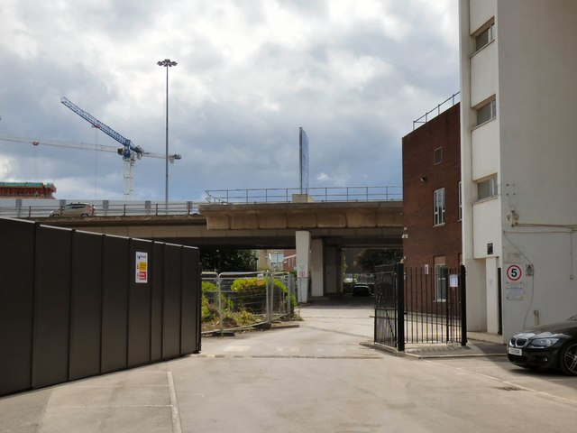
Image: © Gerald England Taken: 15 Jun 2018
This whole area was originally occupied by buildings belonging to BBC Manchester but since it moved out to MediaCityUK it is now being transformed by the Circle Square development and the internal street network is being altered. In the background is the Mancunian Way and in front is a small spur belonging to a sliproad that was planned but never built https://www.sabre-roads.org.uk/forum/viewtopic.php?t=23705 The spur originally extended to a roundabout near the junction of Cloak Street and Brook Street but that has now been demolished.
Images are licensed for reuse under creativecommons.org/licenses/by-sa/2.0
Image Location
Latitude
53.472017
Longitude
-2.237389