OS Surface block, ?ird Dhail, Isle of Lewis
Introduction
The photograph on this page of OS Surface block, ?ird Dhail, Isle of Lewis by Claire Pegrum as part of the Geograph project.
The Geograph project started in 2005 with the aim of publishing, organising and preserving representative images for every square kilometre of Great Britain, Ireland and the Isle of Man.

There are currently over 7.5m images from over 14,400 individuals and you can help contribute to the project by visiting https://www.geograph.org.uk
OS Surface block, ?ird Dhail, Isle of Lewis
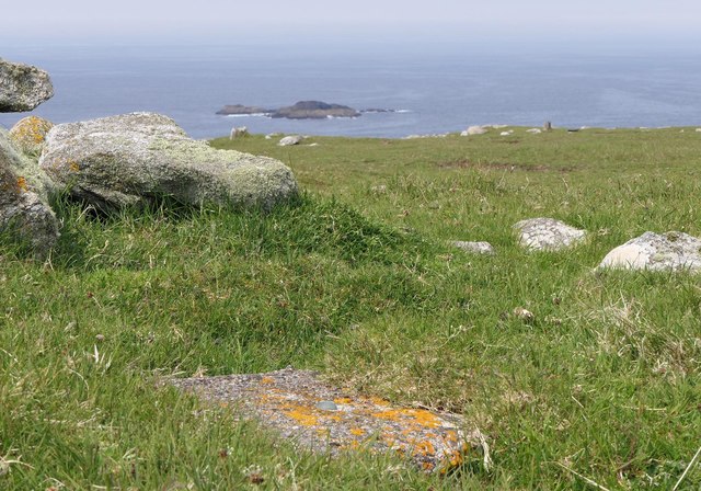
Image: © Claire Pegrum Taken: 1 Jun 2018
The block lies near to the cairn marked on the map.
Images are licensed for reuse under creativecommons.org/licenses/by-sa/2.0
Image Location


Leaflet Map data © OpenStreetMap
Latitude
58.474492
Longitude
-6.335162