Storrington: Chantry Lane bridge
Introduction
The photograph on this page of Storrington: Chantry Lane bridge by Nigel Cox as part of the Geograph project.
The Geograph project started in 2005 with the aim of publishing, organising and preserving representative images for every square kilometre of Great Britain, Ireland and the Isle of Man.

There are currently over 7.5m images from over 14,400 individuals and you can help contribute to the project by visiting https://www.geograph.org.uk
Storrington: Chantry Lane bridge
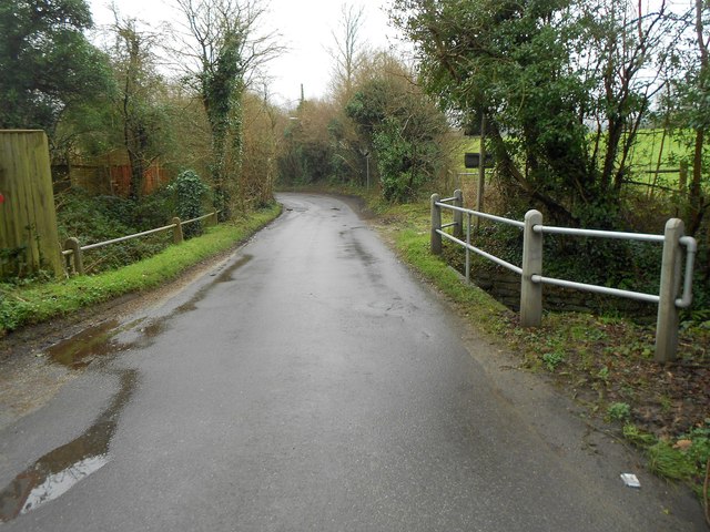
Image: © Nigel Cox Taken: 24 Jan 2016
The bridge carries the lane over the River Stor. Please see Image] for the view of the river from the bridge. Old Ordnance Survey 1:25,000 scale maps show that the Civil Parish boundary between Storrington and Sullington ran, and indeed probably still does run, down the centre of the lane here, the former to the right, the latter to the left.
Images are licensed for reuse under creativecommons.org/licenses/by-sa/2.0
Image Location
Latitude
50.914158
Longitude
-0.448297