Wheathampstead: Devil's Dyke (1)
Introduction
The photograph on this page of Wheathampstead: Devil's Dyke (1) by Nigel Cox as part of the Geograph project.
The Geograph project started in 2005 with the aim of publishing, organising and preserving representative images for every square kilometre of Great Britain, Ireland and the Isle of Man.

There are currently over 7.5m images from over 14,400 individuals and you can help contribute to the project by visiting https://www.geograph.org.uk
Wheathampstead: Devil's Dyke (1)
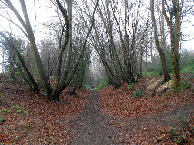
Image: © Nigel Cox Taken: 23 Jan 2016
Devil's Dyke is a long earthwork, extending for about 420 metres, that runs down the western side of the site of the late Iron Age settlement known as Belgic Oppidum. The site had natural defences on the other three sides, and its centre was a natural high point, with the land falling away on all sides. The Dyke itself is publicly accessible, although the rest of Belgic Oppidum is not. According to the stone plaques on the brick piers at the northern entrance it was "Presented by the Rt Hon Lord Brocket to commemorate the Coronation of King George VI and Queen Elizabeth in May 1937", and that the site is also said to be "where Julius Caesar defeated the British King Cassvellaunus in 54 BC." The whole area of Belgic Oppidum is a Scheduled Ancient Monument. Please see Image] and Image] for other views.
Images are licensed for reuse under creativecommons.org/licenses/by-sa/2.0
Image Location
Latitude
51.807986
Longitude
-0.285215