Farmland and roads
Introduction
The photograph on this page of Farmland and roads by Paul McIlroy as part of the Geograph project.
The Geograph project started in 2005 with the aim of publishing, organising and preserving representative images for every square kilometre of Great Britain, Ireland and the Isle of Man.

There are currently over 7.5m images from over 14,400 individuals and you can help contribute to the project by visiting https://www.geograph.org.uk
Farmland and roads
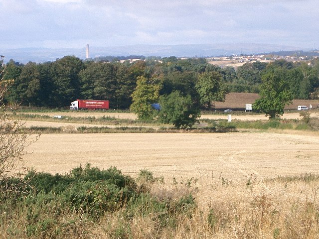
Image: © Paul McIlroy Taken: 29 Sep 2005
Looking west across the square, the two roads in the photo are the B9156 Dunfermline to Limekilns and the A985 Rosyth to Kincardine. The chimney in the background is that of Longannet Power Station.
Images are licensed for reuse under creativecommons.org/licenses/by-sa/2.0
Image Location


Leaflet Map data © OpenStreetMap
Latitude
56.043679
Longitude
-3.471963