Junction of Heol Canola and Bakers Way, Bryncethin
Introduction
The photograph on this page of Junction of Heol Canola and Bakers Way, Bryncethin by Jaggery as part of the Geograph project.
The Geograph project started in 2005 with the aim of publishing, organising and preserving representative images for every square kilometre of Great Britain, Ireland and the Isle of Man.

There are currently over 7.5m images from over 14,400 individuals and you can help contribute to the project by visiting https://www.geograph.org.uk
Junction of Heol Canola and Bakers Way, Bryncethin
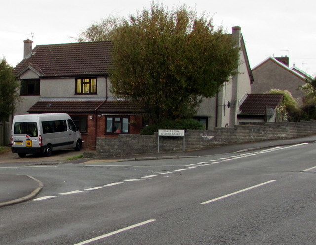
Image: © Jaggery Taken: 11 Oct 2018
Bakers Way https://www.geograph.org.uk/photo/5936881 from the left joins Heol Canola.
Images are licensed for reuse under creativecommons.org/licenses/by-sa/2.0
Image Location
Latitude
51.541123
Longitude
-3.578027