Mill of Pitgair
Introduction
The photograph on this page of Mill of Pitgair by Anne Burgess as part of the Geograph project.
The Geograph project started in 2005 with the aim of publishing, organising and preserving representative images for every square kilometre of Great Britain, Ireland and the Isle of Man.

There are currently over 7.5m images from over 14,400 individuals and you can help contribute to the project by visiting https://www.geograph.org.uk
Mill of Pitgair
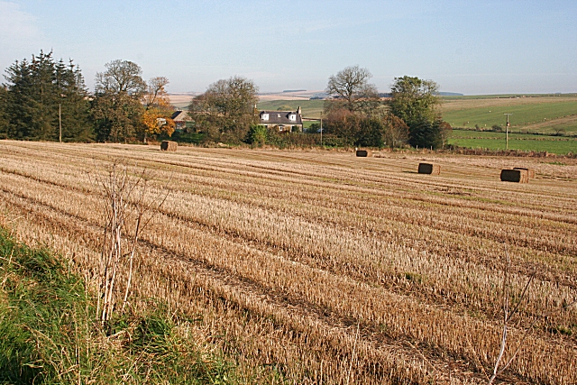
Image: © Anne Burgess Taken: 24 Oct 2007
The mill would originally have made use of the water of the Crihie Burn, which flows into the Burn of Pitgair just downstream from here.
Images are licensed for reuse under creativecommons.org/licenses/by-sa/2.0
Image Location
Latitude
57.617207
Longitude
-2.396369