Rough road, Lower Drumnaspar
Introduction
The photograph on this page of Rough road, Lower Drumnaspar by Kenneth Allen as part of the Geograph project.
The Geograph project started in 2005 with the aim of publishing, organising and preserving representative images for every square kilometre of Great Britain, Ireland and the Isle of Man.

There are currently over 7.5m images from over 14,400 individuals and you can help contribute to the project by visiting https://www.geograph.org.uk
Rough road, Lower Drumnaspar
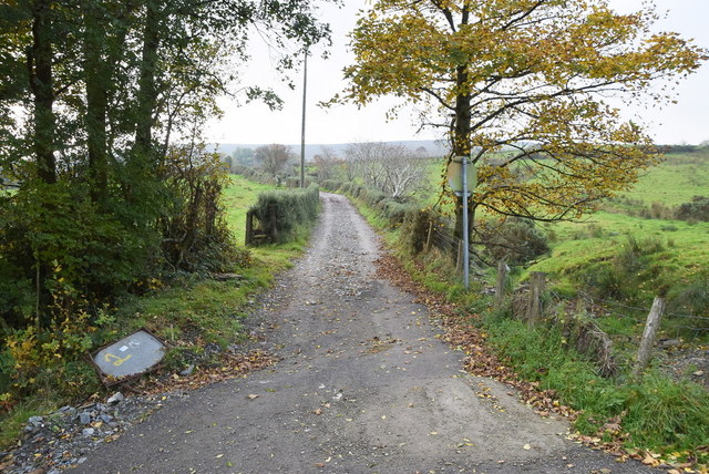
Image: © Kenneth Allen Taken: 10 Oct 2018
No signposts but the maps suggest that this is an extension of Trinamadan Road
Images are licensed for reuse under creativecommons.org/licenses/by-sa/2.0
Image Location
Latitude
54.762066
Longitude
-7.190172