Victory Path crosses Chalkwell Avenue
Introduction
The photograph on this page of Victory Path crosses Chalkwell Avenue by Robin Webster as part of the Geograph project.
The Geograph project started in 2005 with the aim of publishing, organising and preserving representative images for every square kilometre of Great Britain, Ireland and the Isle of Man.

There are currently over 7.5m images from over 14,400 individuals and you can help contribute to the project by visiting https://www.geograph.org.uk
Victory Path crosses Chalkwell Avenue
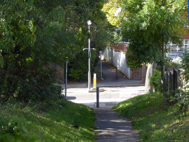
Image: © Robin Webster Taken: 1 Oct 2018
The path runs between The Ridgeway in the west and Britannia Road in the east, closely parallel to the railway.
Images are licensed for reuse under creativecommons.org/licenses/by-sa/2.0
Image Location
Latitude
51.539255
Longitude
0.677792